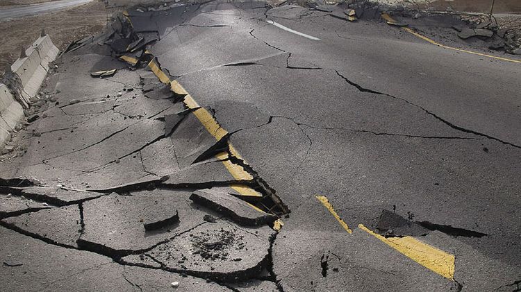
A powerful 6.7-magnitude earthquake struck Indonesia’s Sulawesi Island on Tuesday morning, prompting concern across the region. The earthquake’s epicentre was located approximately 42 kilometers southeast of the city of Palu at a depth of 10 kilometers, according to seismic monitoring agencies.
The tremor occurred in the early hours of the day and was recorded at coordinates 1.073° South latitude and 120.263° East longitude. Authorities are continuing to assess the impact of the quake, though no immediate reports of casualties, injuries, or significant damage were available at the time of reporting.
Indonesia, which sits along the seismically active Pacific Ring of Fire, frequently experiences earthquakes due to the movement of several major tectonic plates beneath the region. The country’s geography makes it one of the most earthquake-prone nations in the world.
In a separate seismic event, a 6.1-magnitude earthquake was also recorded off the coast of Sumatra Island. The quake struck beneath the sea and, like the Sulawesi earthquake, did not immediately result in reports of major damage or loss of life.
The latest tremors come amid heightened regional attention to seismic activity following a devastating 7.8-magnitude earthquake that recently struck the Philippines. The powerful quake caused widespread destruction in the southern city of General Santos and surrounding areas, resulting in at least 32 fatalities and more than 200 injuries.
The Philippines earthquake also triggered tsunami warnings across parts of Southeast Asia. In response, Indonesian authorities issued alerts for several coastal regions, including areas in Kalimantan and Sulawesi, warning residents of potential tsunami waves reaching up to three meters in height.
Emergency officials in Indonesia directed local authorities in Manado, Gorontalo, and the Sangihe Islands to begin precautionary evacuations to higher ground while monitoring sea-level activity. Meanwhile, the Philippine Institute of Volcanology and Seismology reported tsunami waves at multiple monitoring stations, with the highest wave measuring 1.4 meters.
Although Tuesday’s earthquake in Sulawesi did not immediately trigger tsunami warnings or reports of significant destruction, authorities remain vigilant due to the region’s history of deadly earthquakes and tsunamis. Emergency response teams continue to monitor aftershocks and assess infrastructure in affected areas.
The incident serves as another reminder of the persistent geological risks faced by countries located along the Pacific Ring of Fire, where earthquakes and volcanic activity are a frequent occurrence.