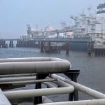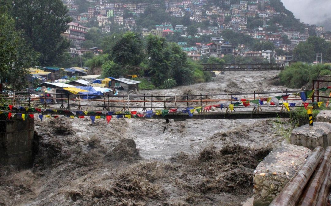
NEW DELHI: North India has just endured its wettest two-week stretch in at least 14 years, IMD data since 2012 shows. Between August 22 and September 4, the region received nearly three times its normal rainfall, unleashing cloudbursts on the Vaishno Devi route in J&K, worst-in-decades floods in Punjab, record-high Yamuna levels in Delhi, and widespread landslides across Himachal Pradesh and Uttarakhand.
In these 14 days alone, north India logged 205.3 mm of rainfall against a normal of 73.1 mm, amounting to 35% of the region’s usual four-month monsoon quota. This surge has put the season on course to becoming the wettest since 1988. So far (June 1–Sept 4), the region has received 691.7 mm of rain—37% above normal—and could cross 750 mm by the end of September, making it the second-highest in 50 years, behind only 1988’s 813.5 mm.
The monsoon surplus shot up from 11.6% on Aug 22 to nearly 37% by Sept 4, sustained by unusually heavy daily rainfall across a vast region—an extremely rare occurrence.
According to IMD chief Mrutyunjay Mohapatra, the deluge was triggered by back-to-back interactions between western disturbances (carrying moist winds from the Mediterranean) and monsoon currents from the east. The first phase lasted Aug 23–27, followed by another from Aug 29, expected to taper off by Sept 5. Such consecutive interactions are highly unusual in the peak monsoon months and have historically caused devastating events, including the 2013 Kedarnath floods.
Punjab was worst hit, recording 388% surplus rainfall in the last week of August and 454% in the first week of September. Other subdivisions saw huge excesses too: Haryana-Delhi-Chandigarh (325%), Himachal Pradesh (314%), west Rajasthan (285%), J&K (240%), and Uttarakhand (190%). East UP remained the only exception.