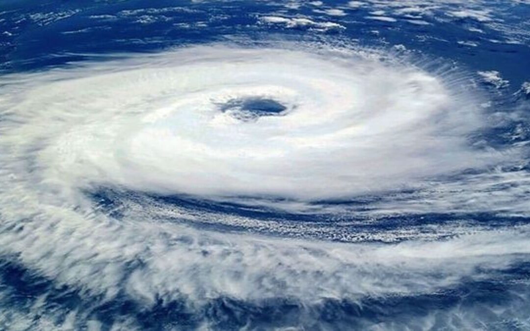
The India Meteorological Department (IMD) declared on Friday that the Cyclonic storm ‘Ditwah’ has commenced its trajectory towards the northern shores of Tamil Nadu, Puducherry, and southern Andhra Pradesh.
In its latest update on X, the weather agency indicated that the storm is positioned approximately 480 km south-southeast of Puducherry and 580 km south-southeast of Chennai.
According to the IMD, “The Cyclonic Storm Ditwah, currently located over coastal Sri Lanka and the adjacent southwest Bay of Bengal, has been advancing northwestward at a velocity of 8 kmph over the last six hours. As of 2330 hrs IST on the 27th of November 2025, it was situated in the same vicinity, near latitude 7.9°N and longitude 81.3°E, roughly 8 km northwest of Batticaloa (Sri Lanka), 80 km south of Trincomalee (Sri Lanka), 200 km north-northeast of Hambantota (Sri Lanka), 480 km south-southeast of Puducherry (India), and 580 km south-southeast of Chennai (India).”
The weather agency further noted that Cyclone Ditwah is projected to persist in its north-northwestward movement along the Sri Lankan coastline and the adjacent southwest Bay of Bengal, arriving at the southwest Bay of Bengal near North Tamil Nadu, Puducherry, and the adjacent southern Andhra Pradesh coasts by the morning of November 30.
In anticipation of the cyclonic storm, strong winds, heavy rainfall, and perilous sea conditions are expected along the coast in the forthcoming days.
According to B. Amudha, the Director of the Regional Meteorological Centre in Chennai, the storm is not anticipated to develop into a severe cyclonic storm.
“At present, Ditwah is categorized as a cyclonic storm. Forecasts do not, at this moment, upgrade it to a severe cyclone,” remarked the RMC chief, as reported by PTI.
The RMC has issued a red alert for multiple districts in the Cauvery Delta, including Thanjavur, Tiruvarur, Nagapattinam, and Mayiladuthurai, effective until November 30.
Furthermore, an orange alert has been announced in five districts: Chennai, Tiruvallur, Kancheepuram, Ranipet, and Chengalpattu.
A red alert indicates extremely heavy rainfall exceeding 20 cm within a 24-hour period, while an orange alert signifies very heavy rainfall ranging from 11 cm to 20 cm.
Amudha further indicated that gale-force winds near the storm’s center could attain speeds of 60–80 kmph, with gusts potentially reaching 90 kmph, while the outer bands may experience winds of 35–45 kmph, gusting up to 55 kmph.
“Similar squally winds of 35–45 kmph, with gusts reaching 55 kmph, are also expected over areas of the Arabian Sea adjacent to Kerala, Lakshadweep, and the Maldives,” she added.
The IMD has warned fishermen, especially those already at sea, to completely avoid the south, central, southwest, and southeast Bay of Bengal for the next five days, she stated.
Meanwhile, Tamil Nadu Chief Minister MK Stalin convened a meeting on Thursday with officials from the state disaster management authority to evaluate special measures implemented for disaster management, as reported by PTI.
Substantial precipitation is anticipated in Andhra Pradesh
The Andhra Pradesh State Disaster Management Authority declared on Thursday that Cyclone Ditwah is expected to bring substantial rainfall and strong winds to the South Coastal Andhra Pradesh and Rayalaseema areas.
It is anticipated that intense rainfall will take place in South Coastal Andhra Pradesh (SCAP) and Rayalaseema for a period of three days starting Saturday, due to the cyclone’s effects.
As per the authority, the districts of Chittoor, Tirupati, Nellore, Prakasam, YSR Kadapa, Annamayya, and Sri Sathya Sai are forecasted to receive heavy to very heavy rainfall for two days commencing on November 29.


