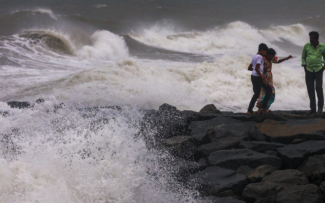
CHENNAI: The city and its neighbouring districts endured a third consecutive day of heavy rain on Wednesday, though meteorologists say the worst of Cyclone Ditwah’s impact has now passed. Light showers are expected on Thursday, with clearer skies forecast from Friday.
Despite the weakening of the Bay of Bengal depression into a well-marked low-pressure area—making landfall near Puducherry on Wednesday morning—intense rainfall persisted across Chennai, Tiruvallur, Kancheepuram, and Chengalpet due to cloud convergence over the region.
The heaviest downpours were recorded in Tiruvallur and North Chennai, while Central and South Chennai experienced intermittent moderate rain spells. Ennore logged 14.6cm of rainfall by 5.30pm, and Puzhal recorded 5.6cm.
Residents in several northern neighbourhoods reported widespread inundation. R. Boopalan of Tiruvottiyur said that continuous showers from Tuesday night into Wednesday left many residential pockets waterlogged.
Weather blogger Pradeep John said the intense cloud formation and thunderstorms were caused by the interaction of upper- and lower-level winds. “Since the depression was positioned south of Chennai, cloud convergence occurred over Kancheepuram, Chennai, Tiruvallur, and Chengalpet. Tiruvallur received particularly heavy rain as the clouds remained stalled over the district,” he explained.